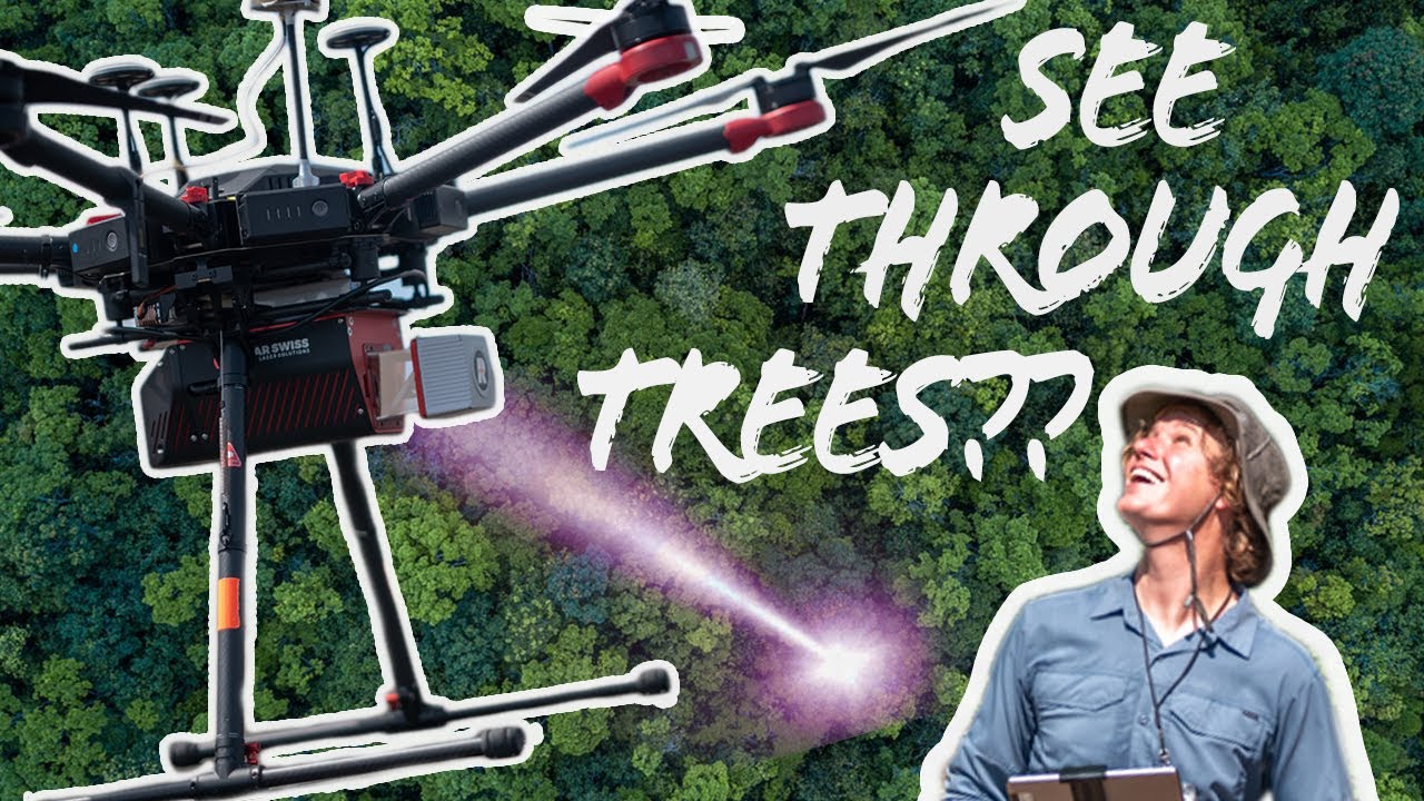
How a LiDAR Drone Maps the Bare Earth through trees!
 This week we test Drone LiDAR and its ability to see through trees! Fly with me as I explore an Ozark forest to demonstrate the effectiveness of using an unmanned aircraft system with LiDAR to create a bare earth model.…...Read more
#Videos